
Skip to content

Geospatial case studies, with measured results

A small snapshot of our ongoing and past client work.

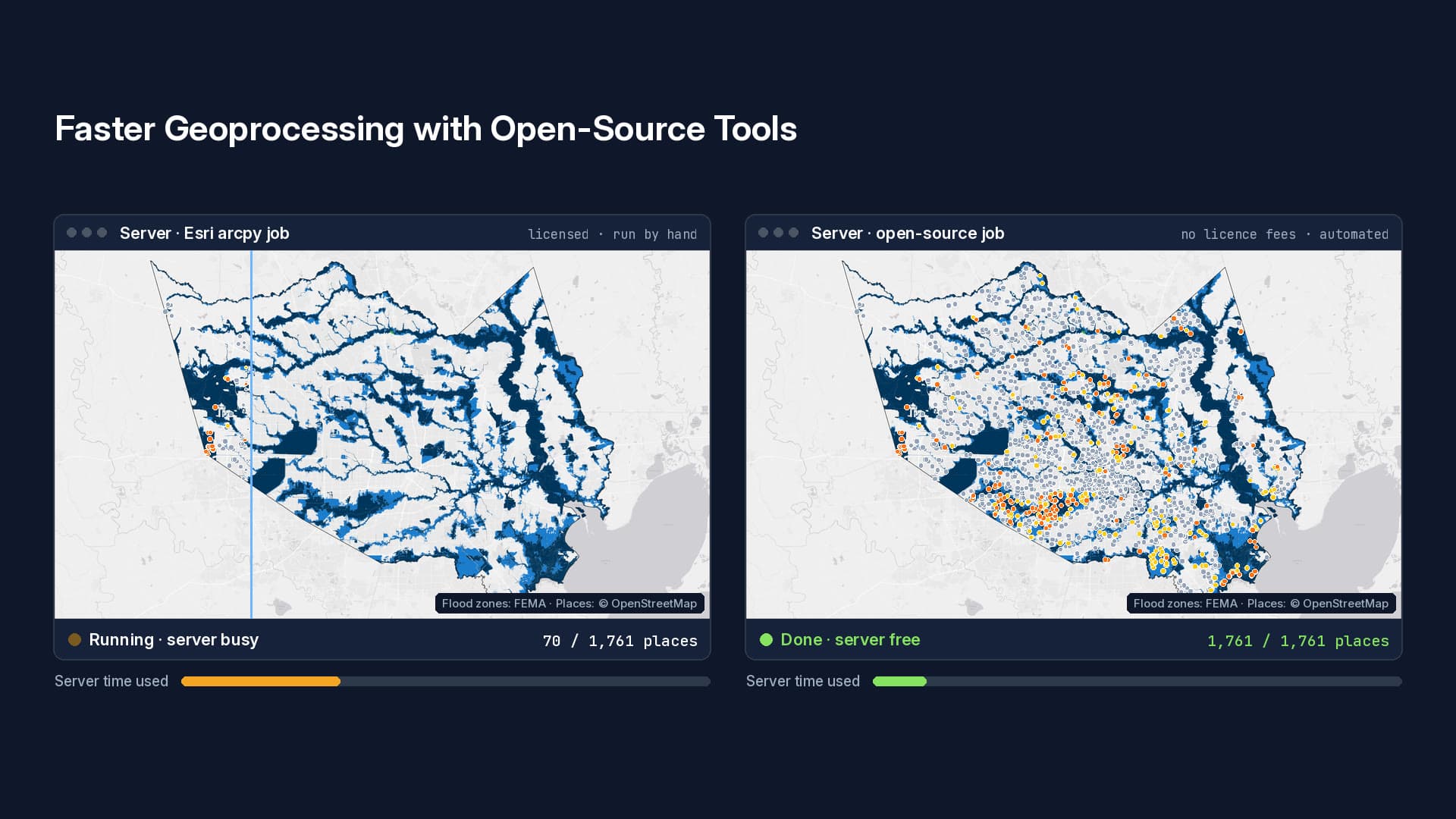
faster geospatial processing after moving a client from Esri arcpy to open-source Python libraries
10×

faster geospatial processing after moving a client from Esri arcpy to open-source Python libraries

less time for a legacy data-assembly workflow: 8 minutes down to 1, and instant from cache
87%

less time for a legacy data-assembly workflow: 8 minutes down to 1, and instant from cache

faster hyperspectral imagery processing at The Aerospace Corporation
2–3×

faster hyperspectral imagery processing at The Aerospace Corporation

Client work

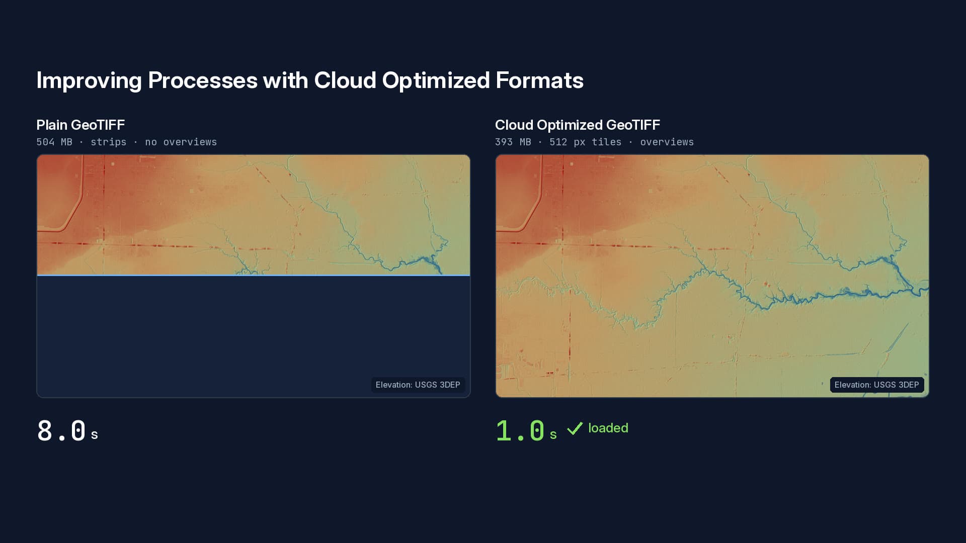
An illustration with public data, not Sea Island's data or systems: a USGS 3DEP elevation model of Buffalo Bayou in Houston, opened as a plain GeoTIFF and as a COG over the same 50 Mbps connection. The timings are measured reads, replayed in real time. Elevation: USGS 3DEP.

Sea Island Software

Sea Island Software

Three years managing complex geospatial data ingest pipelines, migrating production systems to the cloud, and modernizing legacy code into faster, more stable services.

  • Converted seven years of production GeoTIFFs, served as GeoServer imagery mosaics, into Cloud Optimized GeoTIFFs stored in S3
  • Increased resilience with improved AWS CloudFormation templates and auto-scaling rules
  • Refactored older Python processes onto newer GDAL and cloud-native data formats
  • Replaced a database GeoJSON assembly step with near-real-time GeoParquet pipelines on Airflow

Published works

Publications by the founder

Before starting GEOSLN, Kevin Mercy helped archaeologists and scientists and has been published in several peer-reviewed journals. His work includes 3D change detection, LiDAR terrain analysis, and UAS photogrammetry.

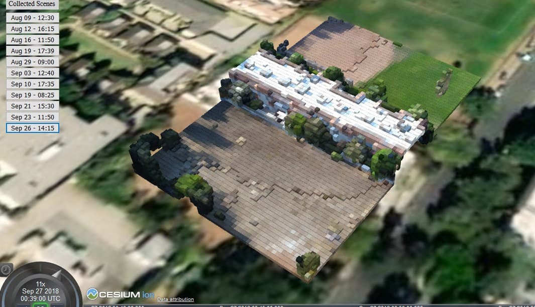
Web-based 3D viewer showing a voxelized UAS scan of a building and trees over imagery, with a list of collection dates to step through
Voxelized UAS scans you can step through by collection date, queryable back to the original pointsDrones, 2019
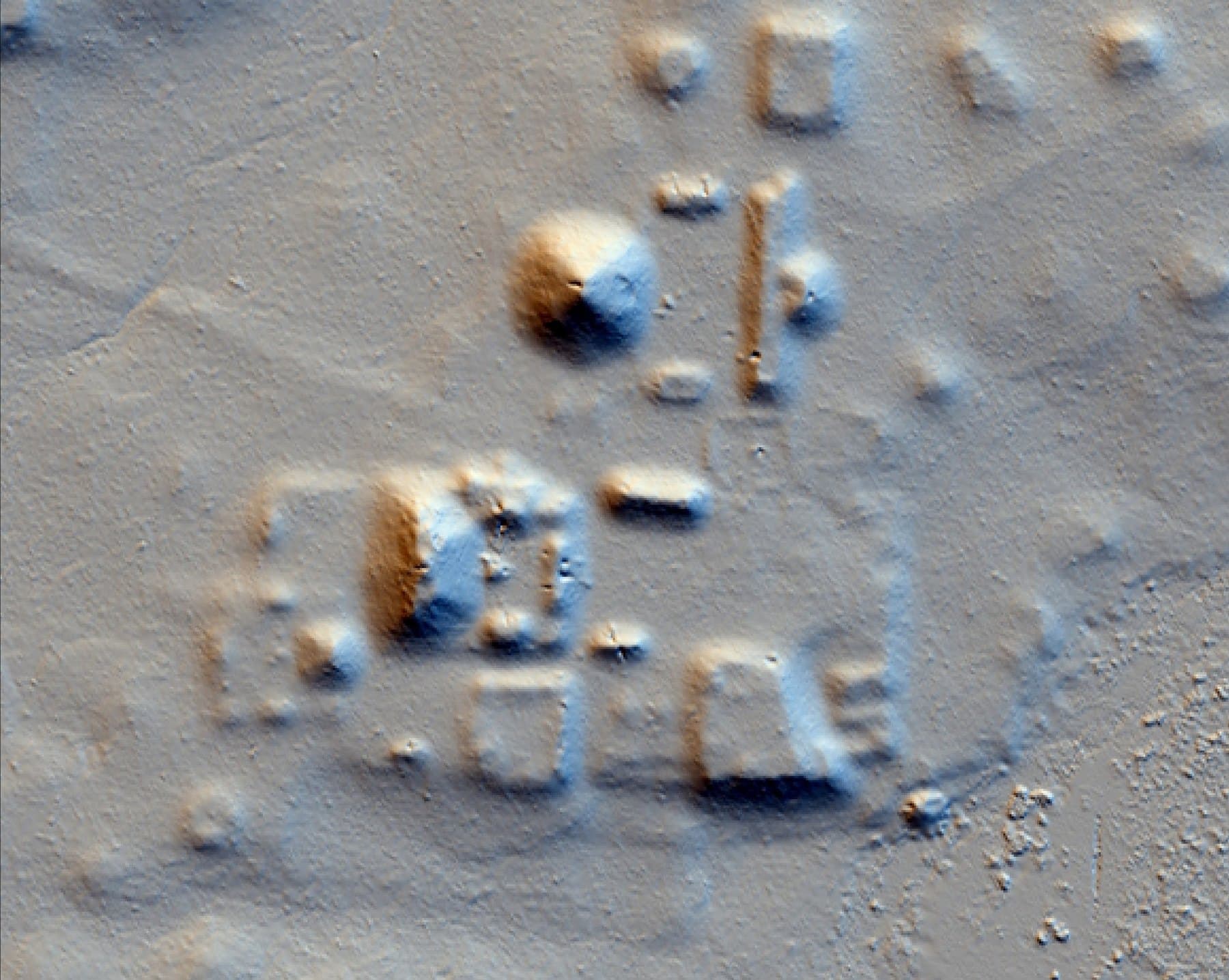
LiDAR bare-earth hillshade revealing the mounds and plazas of an ancient Maya palace complex hidden beneath forest canopy
LiDAR bare-earth hillshade: a Classic Maya palace complex, invisible under the canopy, resolved from airborne laser dataEl Zotz 2017 report
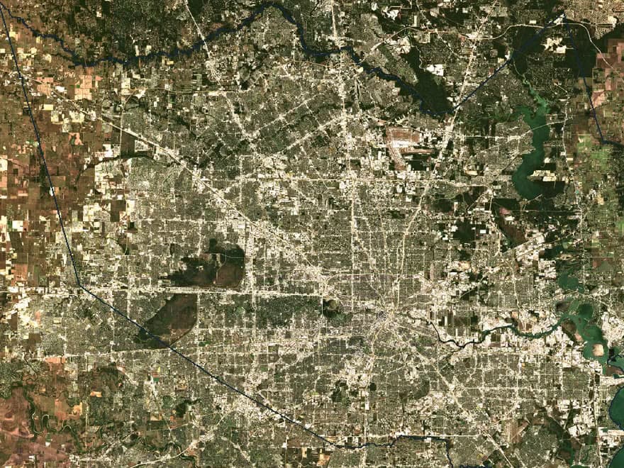
Sentinel-2 true-colour satellite mosaic of Harris County, Texas, showing Houston's street grid, reservoirs and the bay
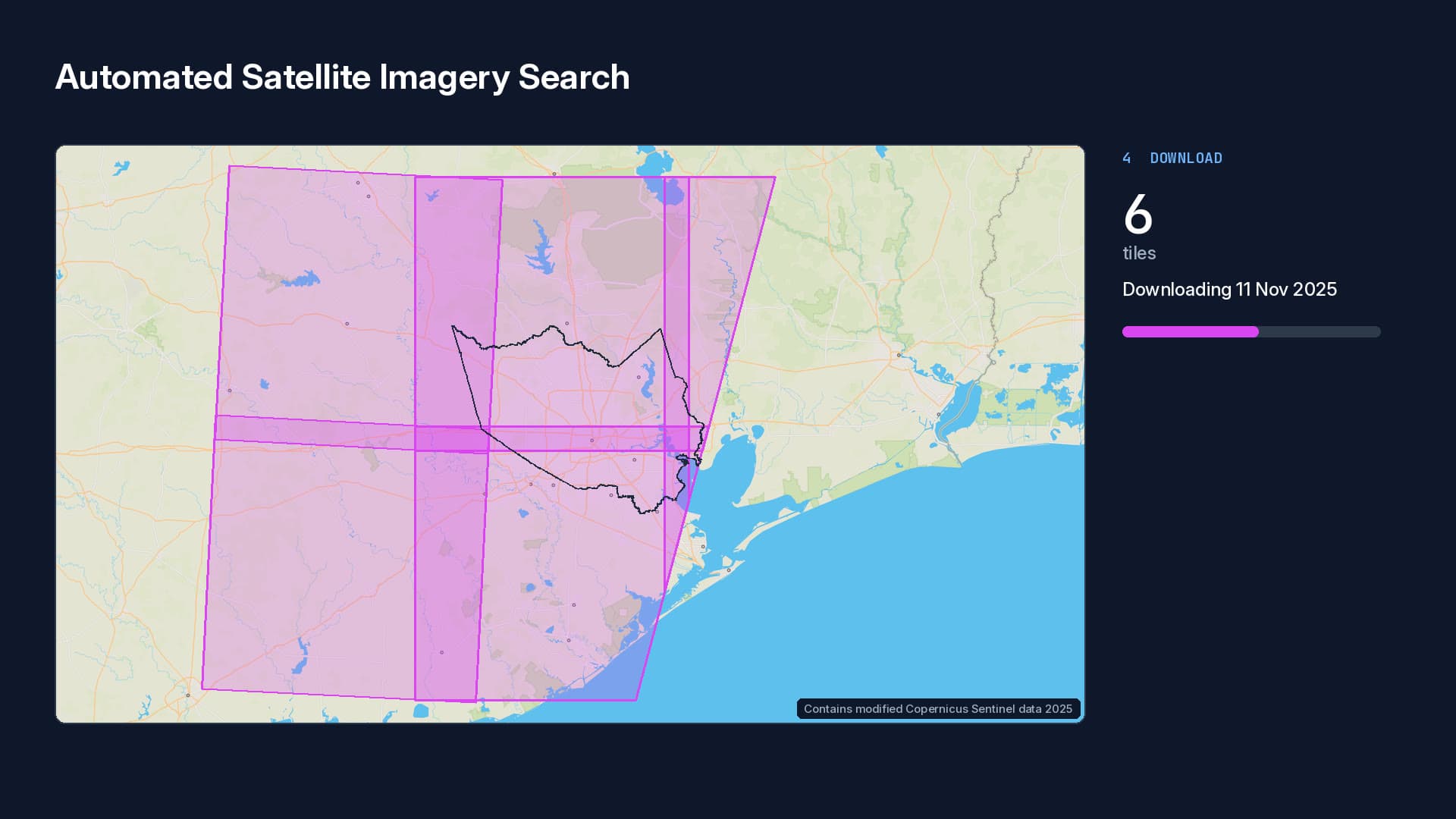
Satellite imagery: a 10 m Sentinel-2 true-colour mosaic of Harris County, Texas, found and downloaded by an automated pipeline. Contains modified Copernicus Sentinel data 2025.SmallSat 2020: the R3 CubeSat

Have a similar problem?

Whether it needs to stay anonymous or you’re happy to be named, I’d rather talk about the actual problem than a sales pitch.