

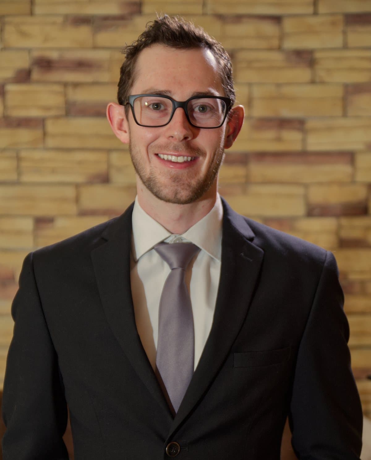
Founder
Meet our founder
Whether you are interested in the Hazard API or GEOSLN consulting offerings, I look forward to helping with your business needs.
About Kevin
Founder bio
In addition to launching GEOSLN and building the GEOSLN Hazard API, founder Kevin Mercy has most recently supported Sea Island Software Inc. with the management of the geospatial ingest pipelines behind HURREVAC, the United States National Hurricane Program’s decision-support tool for government emergency managers. As a critical system with live users, Kevin often worked on call 24/7 to fix live production issues. Additionally, to maintain system security, he led several complex cloud migration projects and modernized legacy code into faster and more stable codebases using modern technologies and data types.
Before working with Sea Island Software Inc., Kevin Mercy worked at The Aerospace Corporation, where he was exposed to a wide array of dense imagery processing systems. At The Aerospace Corporation he helped speed up several large hyperspectral processing libraries, and helped make internal imagery more valuable by giving it an interface where it could be indexed, queried and discovered across the company instead of sitting on hard drives.
Kevin Mercy received an M.S. in Geographic Information Science and Technology and a B.A. in Archaeology with minors in Computer Science and Geospatial Intelligence from the University of Southern California. Through his time at USC, he worked with researchers in the USC Archaeology Lab and the Spatial Sciences Institute, and contributed to work that was later featured by National Geographic.
Timeline
From field data collection to software engineer
The common denominator: huge, messy geospatial datasets that organizations needed clearer answers from.
Today
GEOSLN
Consulting for small and mid-size companies, and GEOSLN's own Hazard API: the same skills, offered to teams that need them.
Client
Clairvoyint AI
Helping Clairvoyint turn its vision of evidence-grounded analytical agents into scalable cloud infrastructure and production web applications.
clairvoyint.ai
2023–today
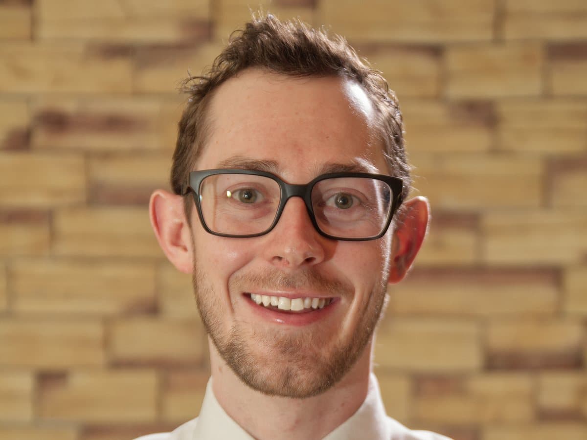
HURREVAC data pipelines, Sea Island Software
Production engineer on the data pipelines behind HURREVAC, the National Hurricane Program's decision-support tool used by thousands of government emergency managers during live storms: AWS migration, seven years of imagery moved to Cloud Optimized GeoTIFFs, GeoParquet pipelines on Airflow, and on-call support during storms.
2022–2023
Mapping team, Sail Internet
Added error catching and data cleaning for corporate CRM data, and integrated custom geospatial API routes, including viewshed coverage and total homes passed, served into a live internal app for network planning and development.
2019–2022
Satellite imagery at The Aerospace Corporation
Built a full-stack imagery browser on Django, PostGIS and GeoServer, containerized a testbed into a Kubernetes CI/CD environment, sped up hyperspectral processing 2–3×, and co-authored the R3 CubeSat's first-18-months results.
SmallSat 2020 paper2019
GEOINT Symposium speaker & Golden Ticket
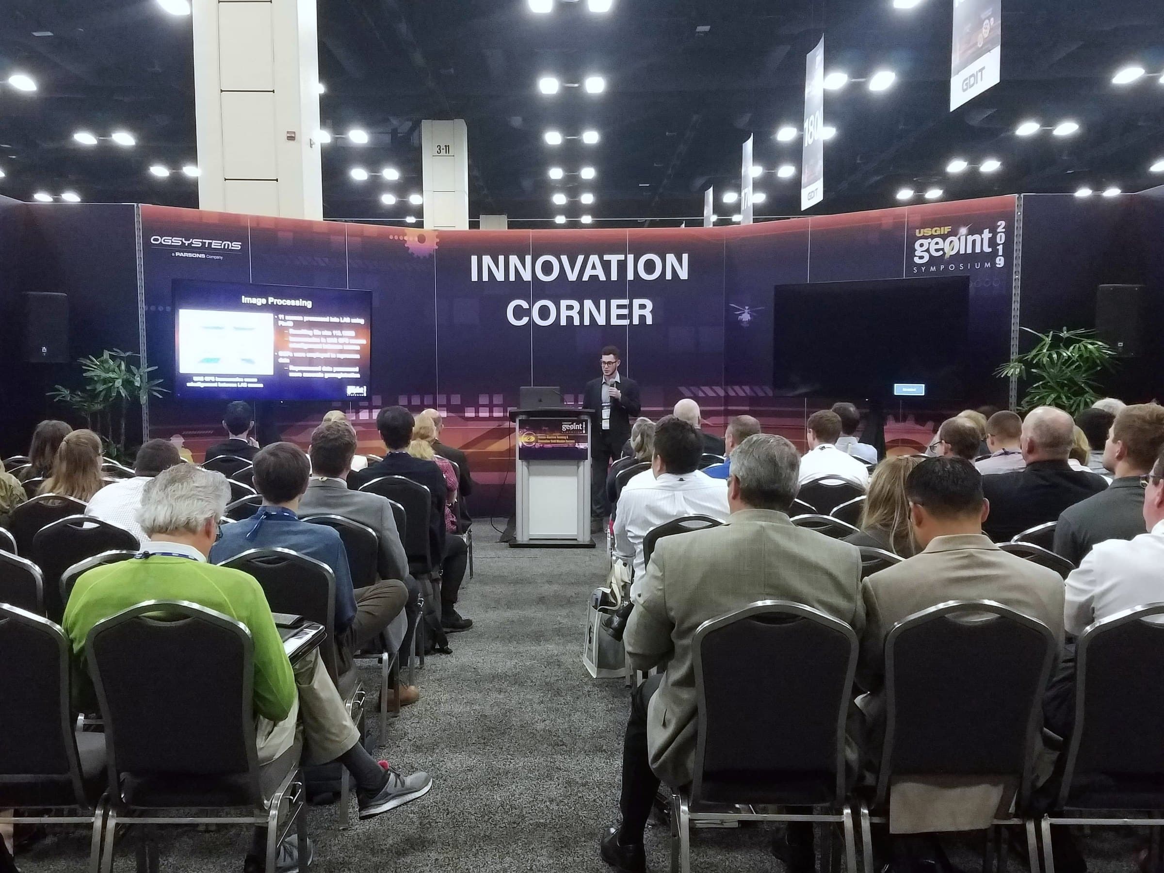
Presented LiDAR voxelization work in the GEOINT 2019 Innovation Corner as one of 30 USGIF Golden Ticket honorees, and received the $10,000 RGi Scholarship. Completed an M.S. in Geographic Information Science and Technology at USC.
USGIF announcement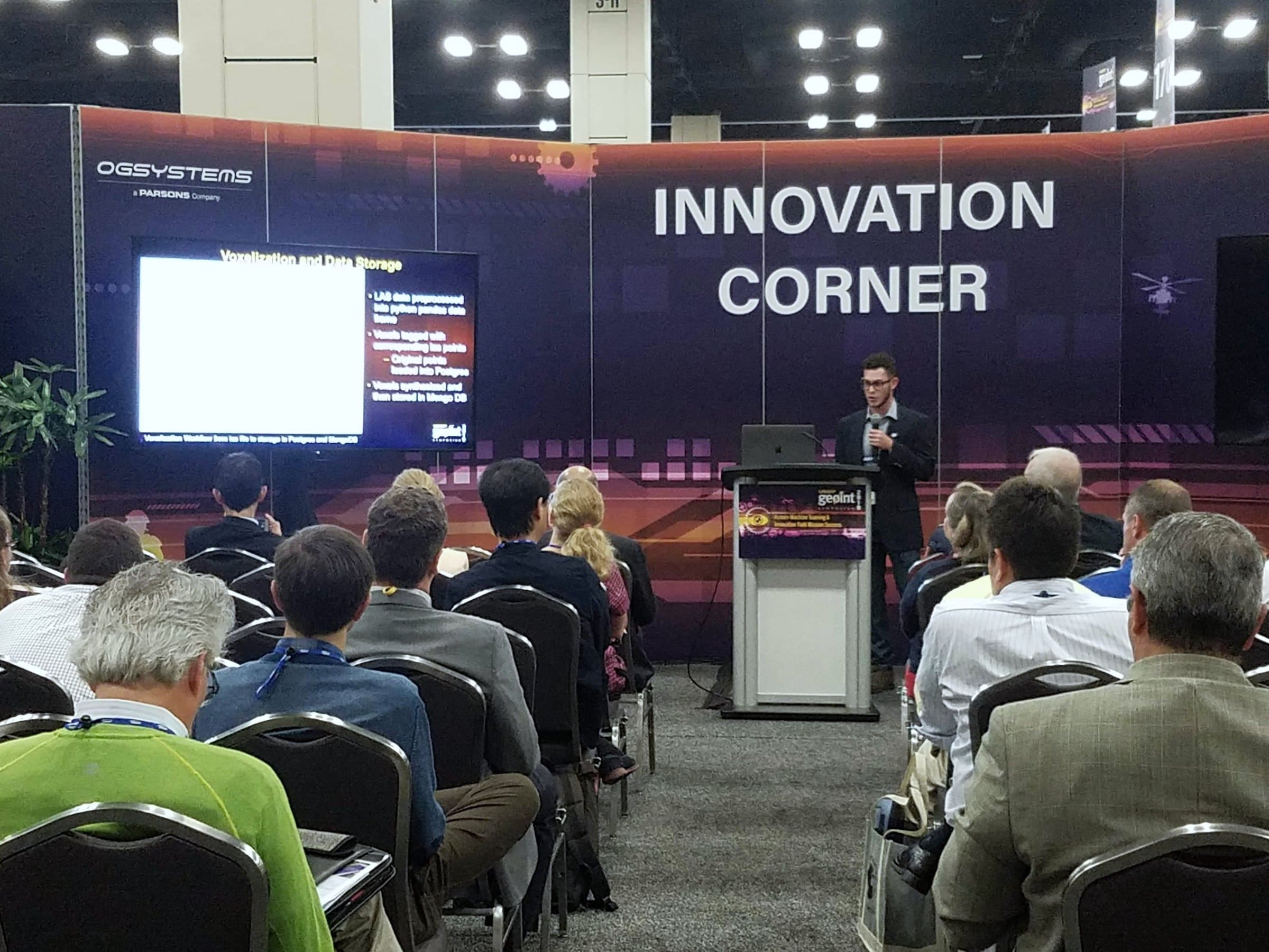
2019
Voxelized 3D data, published in Drones
Co-authored a lightweight web system for temporal stacks of UAS point clouds: 78% smaller data, still queryable back to every original point.
Read the paper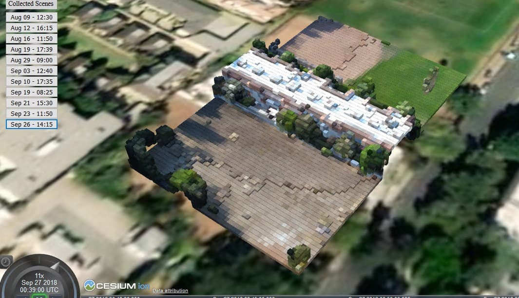
2017
Society for American Archaeology, Vancouver
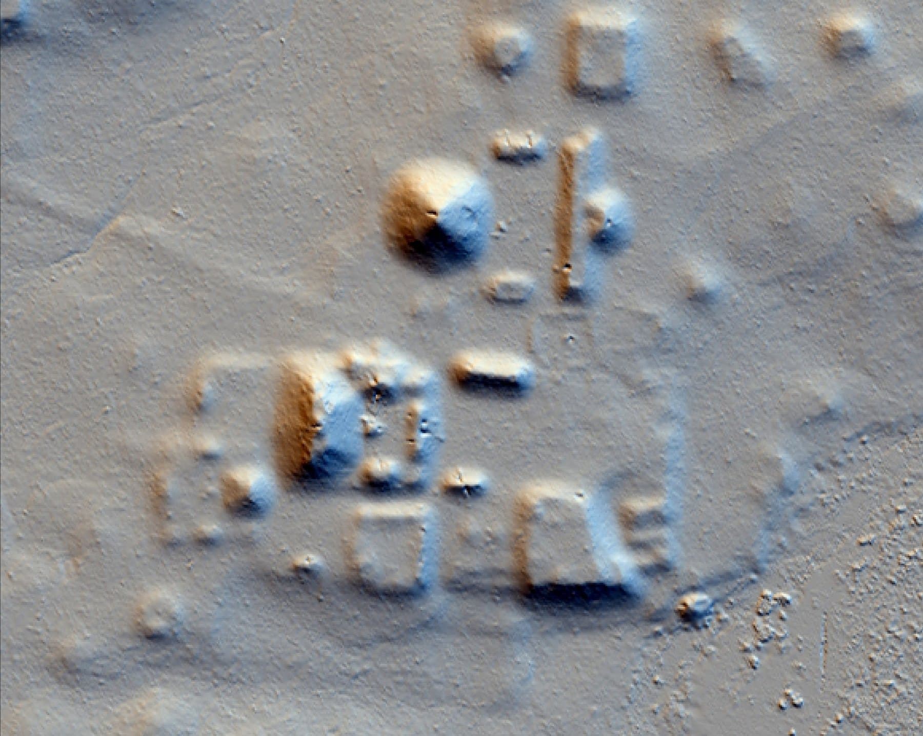
Co-presented “Hilltops and Boundaries: The LiDAR Survey of El Zotz and Tikal” at the 82nd SAA Annual Meeting.
tDAR record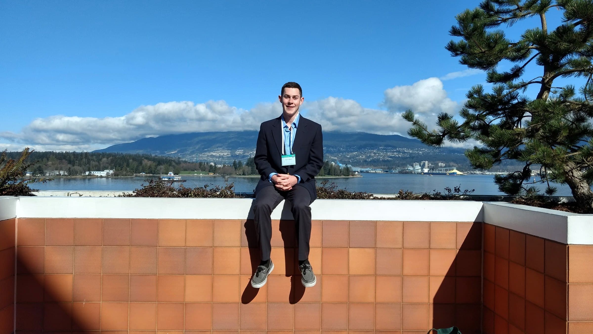
2017
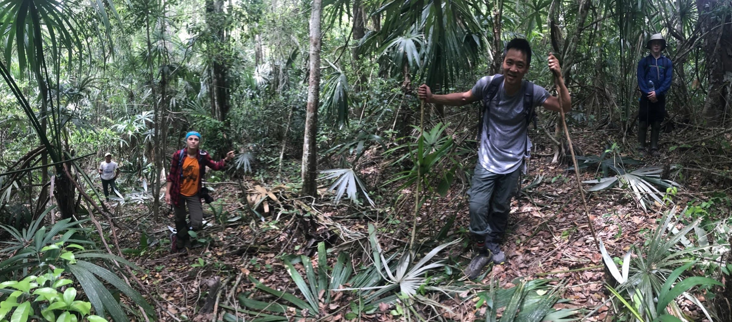
LiDAR ground reconnaissance in Guatemala
Co-led the El Zotz Archaeological Project's reconnaissance team with Dr. Thomas Garrison, confirming LiDAR-detected Maya settlement on the ground, part of the survey later covered by National Geographic.
2017 season report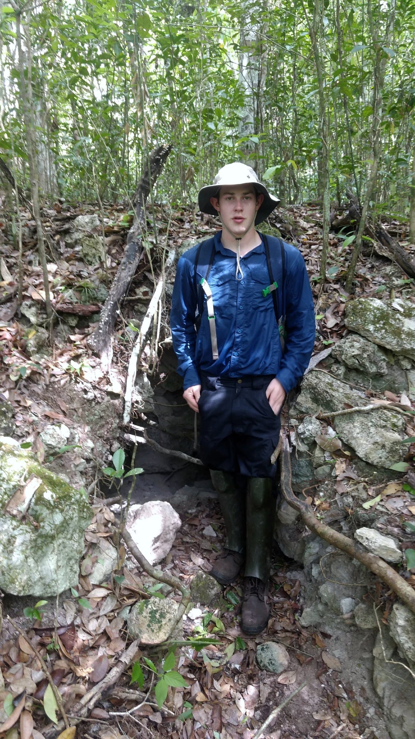
2016
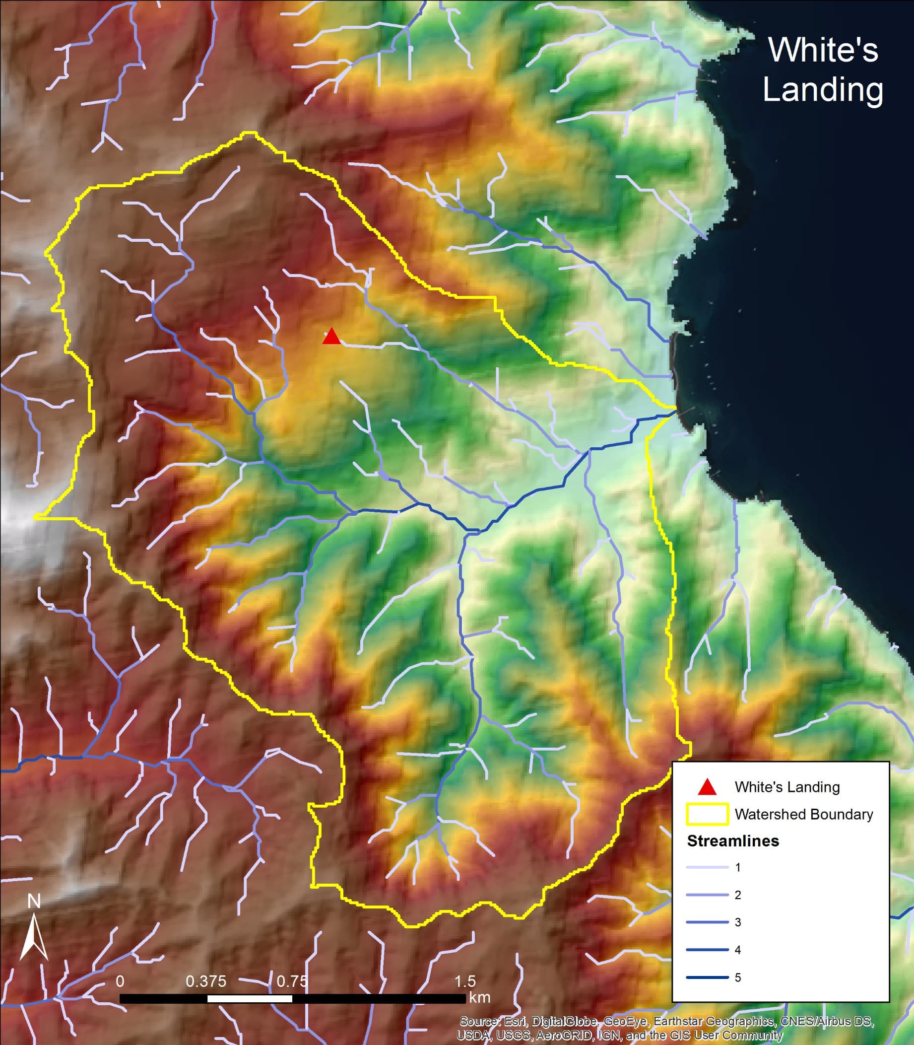
First fieldwork: Catalina Island
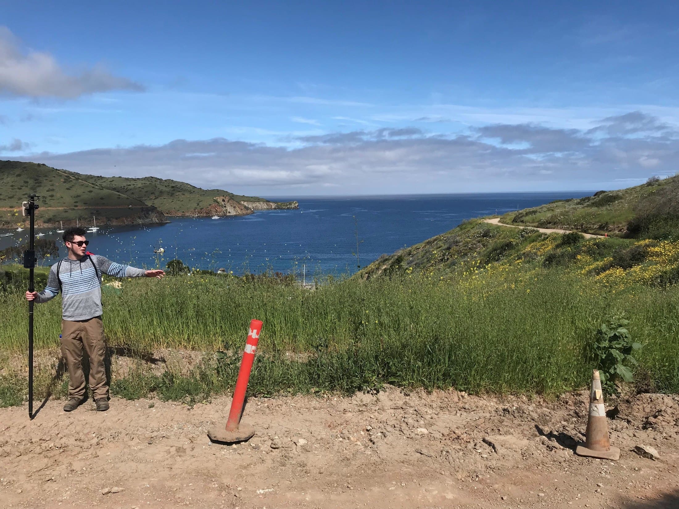
Undergraduate research modeling where Catalina's springs hold water, using watershed delineation, stream networks, and vegetation indices, then checking the answers on foot.
Research snapshots
Field investigations and conferences
Full publications
Publications, talks & recognition
Peer-reviewed and conference work from the field and the lab.
Publications & talks
- Landsat Imagery from a CubeSat: Results and Operational Lessons from the R3 Satellite's First 18 Months in Space
Pack, Kinum, Johnson, Wilkinson, Coffman, Purcell, Mauerhan, Hardy, Russell & Mercy · Small Satellite Conference (SmallSat), Utah State University · 2020
- A Lightweight, Robust Exploitation System for Temporal Stacks of UAS Data: Use Case for Forward-Deployed Military or Emergency Responders
Marx, Chou, Mercy & Windisch · Drones 3(1), 29 · 2019
- Análisis de los datos de LiDAR obtenidos en el Biotopo San Miguel la Palotada-El Zotz y el Valle de Buenavista, Parte II: Resultados de las investigaciones regionales del campo de 2017
Garrison, Mercy, Houston, Alcover Firpi, Gutiérrez & Lin · Proyecto Arqueológico El Zotz, Informe Final, 12va Temporada de Campo, pp. 108–124. Report to the Instituto de Antropología e Historia, Guatemala · 2018
- La ampliación del reino Pa’ka’n: Investigaciones espaciales y temporales en 2017
Garrison, Gutiérrez, Houston, Garrido, Pérez, Hernández, Piedrasanta, Bishop, Mercy, Gautier, Tueller, Schurgers & Román · XXXI Simposio de Investigaciones Arqueológicas en Guatemala, 2017, pp. 613–624. Museo Nacional de Arqueología y Etnología, Guatemala · 2018
- Hilltops and Boundaries: The LiDAR Survey of El Zotz and Tikal
Garrison, Houston, Alcover Firpi & Mercy · 82nd Annual Meeting of the Society for American Archaeology, Vancouver, BC · 2017
Recognition & press
- RGi Scholarship for Geospatial and Engineering ($10,000)
USGIF · 2019
- GEOINT 2019 Golden Ticket — one of 30 emerging professionals selected
USGIF · 2019
- Interview: USGIF Scholarship Award Winner
USGIF (SoundCloud) · 2019
- USC Spatial Sciences Institute — USGIF partnership (RGi Scholarship, Golden Ticket)
USC Dornsife · 2019
- Exclusive: Laser Scans Reveal Maya “Megalopolis” Below Guatemalan Jungle
National Geographic · 2018