

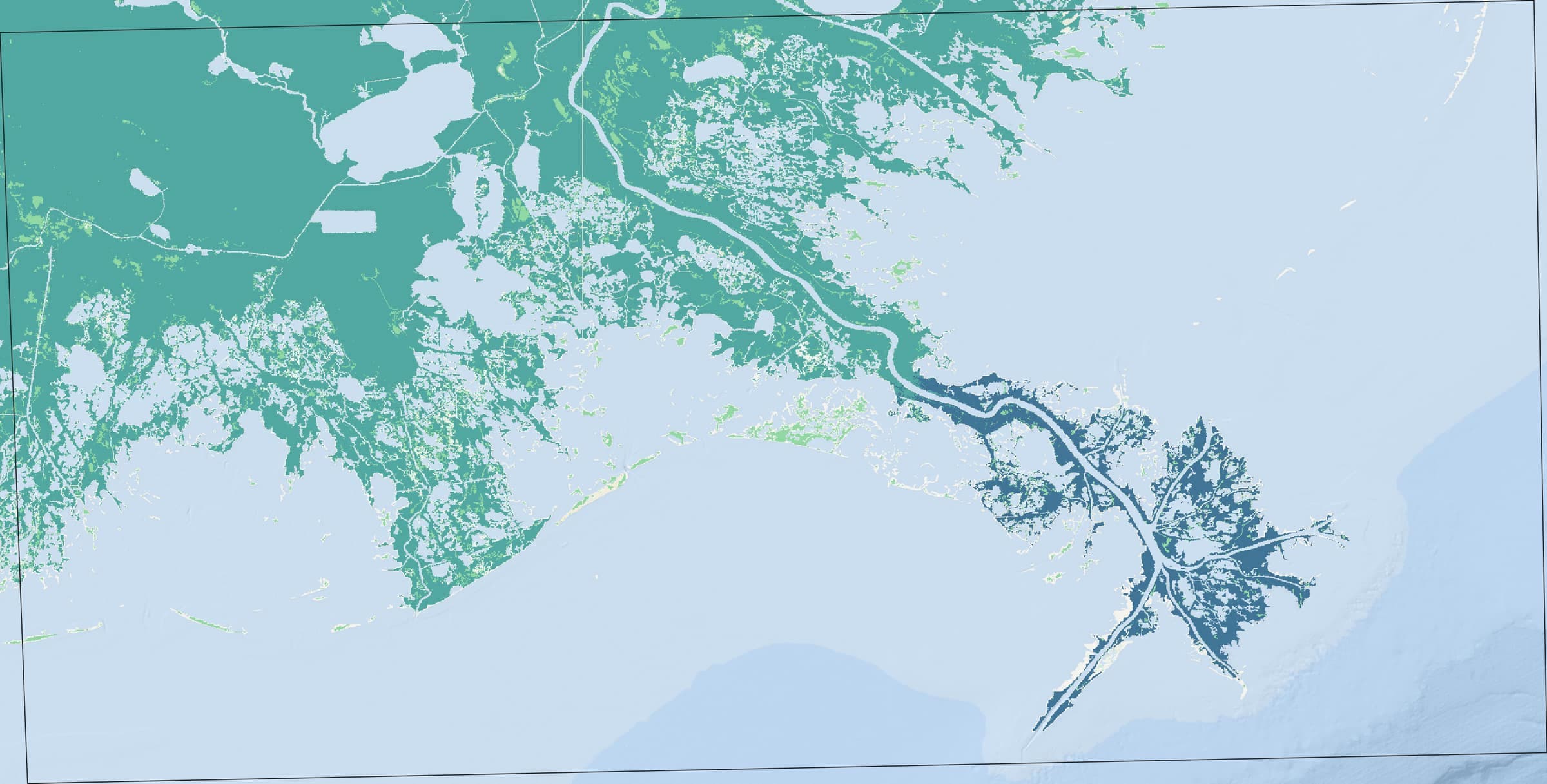
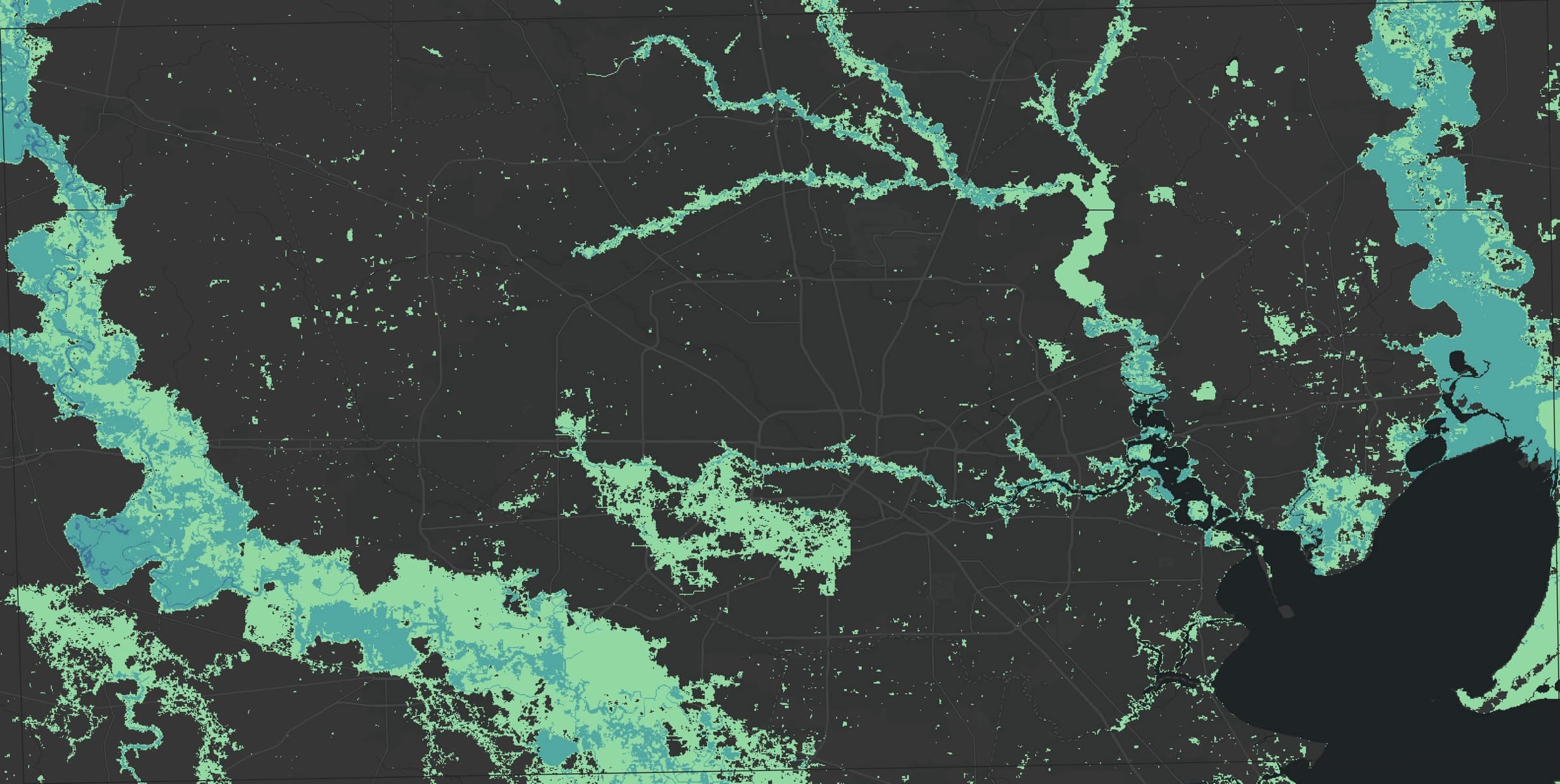
Flood hazard: European Commission JRC (ODbL). Basemap: Esri and its data providers
Flood risk, queryable by coordinate
Search a place or send a coordinate and get back flood hazard classes for ten, one-hundred, and five-hundred-year floods from the JRC global flood maps, plus a short plain-language summary of those classes. Five free reports a day; bulk jobs and GIS conversion with credits.
Bulk scoring
Score a whole portfolio as one job
Send up to 1,000 coordinates or addresses, then download one GeoJSON or CSV report: return-period hazard classes plus a short plain-language summary to review before you share it, joined back to your own row IDs. Built for portfolio screening, pre-underwriting triage, and site analysis.
$ curl -X POST "https://geosln-api.com/gis/risk/bulk/" \
    -H "Authorization: Token $GEOSLN_API_TOKEN" \
    -H "Content-Type: application/json" \
    -d '{"records": [
          {"ref": "row-2", "lat": 16.4707, "lon": -90.5347},
          {"ref": "row-3", "lat": 17.3455, "lon": -88.3133}
        ]}'
# {"id": "7f3c…", "status": "queued", "status_url": ".../gis/jobs/7f3c…/"}

$ curl "https://geosln-api.com/gis/jobs/7f3c…/result/?format=geojson" \
    -H "Authorization: Token $GEOSLN_API_TOKEN"
# report · also as ?format=csv
{
  "type": "FeatureCollection",
  "features": [
    {
      "type": "Feature",
      "geometry": { "type": "Point", "coordinates": [-90.5347, 16.4707] },
      "properties": {
        "ref": "row-2",
        "status": "ok",
        "RP10": 3, "RP100": 3, "RP500": 4,
        "assessment": "Your property shows MODERATE flood risk under typical conditions, escalating to HIGH risk during severe weather events."
      }
    },
    {
      "type": "Feature",
      "geometry": { "type": "Point", "coordinates": [-88.3133, 17.3455] },
      "properties": {
        "ref": "row-3",
        "status": "ok",
        "RP10": 2, "RP100": 3, "RP500": 3,
        "assessment": "This location shows LOW flood risk under typical conditions, MODERATE risk during severe weather events."
      }
    }
  ]
}
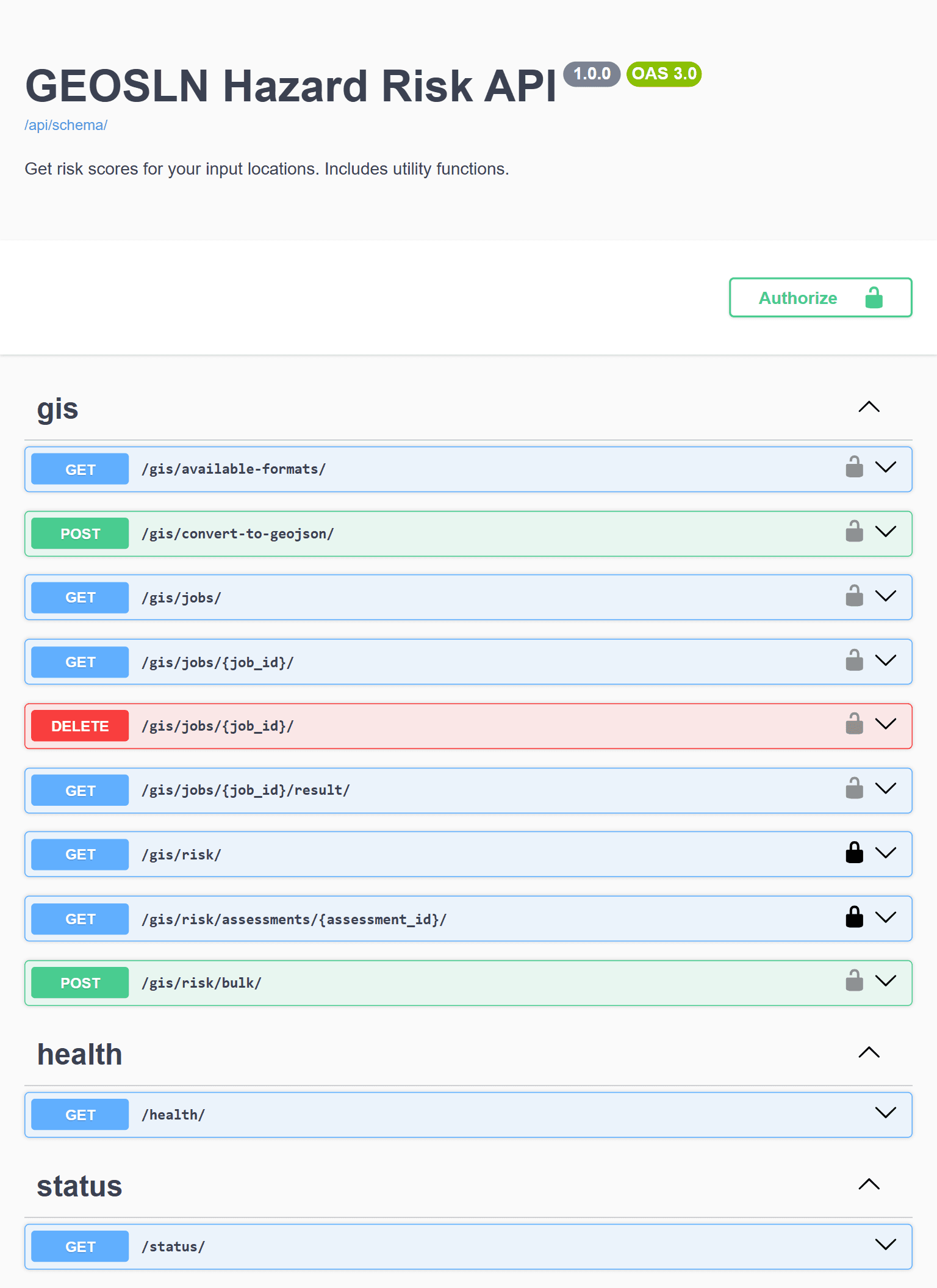
Endpoints
Documented API endpoints available in plain-language and developer-based docs
Flood hazard at one coordinate: ten, one-hundred, and five-hundred-year classes (0–5) at once, with a short AI-written summary of those classes you poll for. 1 credit, or one of 5 free reports a day on the map.
Up to 1,000 records per job: coordinates or street addresses, with your own IDs and columns passed through. Returns a job; only records that score are charged.
Shapefile, KML, GeoPackage, or File Geodatabase to GeoJSON, run as a job. 1 credit, charged only on success. Supported formats: /gis/available-formats/.
One place for every job: status and progress, the result download (GeoJSON or CSV), and DELETE to cancel and release reserved credits. Results are kept for 24 hours.
Pricing
Free for individual lookups, credits for scale
Five free flood reports a day, no card required. Beyond that, buy credit packs as you need them. No subscription required.
Micro
$5
8 credits · $0.63/credit
Low-risk trial
Starter
$15
30 credits · $0.50/credit
Great for testing
Developer
$45
120 credits · $0.38/credit
Best value for builders
Pro
$95
300 credits · $0.32/credit
Highest volume, best rate
Credits are reserved when a job starts and charged only for work that succeeds. Your account shows your balance, every purchase with its Stripe receipt, and one line per report or job.
Use the API
Start with five free reports
Create a free account for the map and an API key. Buy credits only when you need bulk jobs or conversion.
Build it into your product
Need a pipeline like this?
GEOSLN Founder Kevin Mercy is building the GEOSLN Hazard API and can help provide data pipelines, GIS services, or production apps to your team. Start with a free 30-minute call.